14. September 2022 16:00 Uhr / Wissenschaftler
FIAS Geoscience Seminar Series
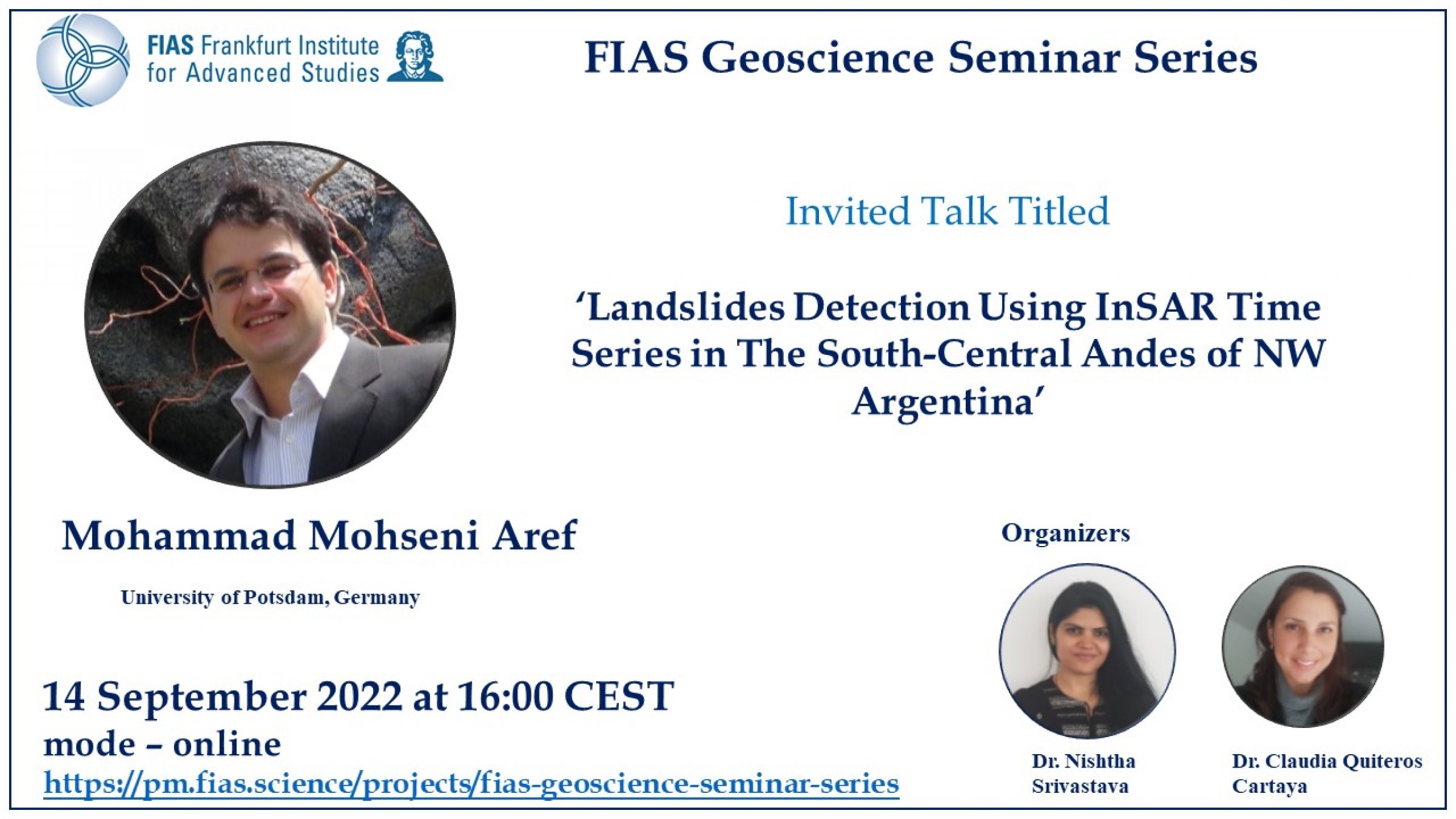
Mohammad Mohseni Aref: Landslides Detection Using InSAR Time Series in The South-Central Andes of NW Argentina

Veranstaltungsort: online
Die FIAS Geoscience Seminar Series findet alle zwei Wochen online statt.
Landslides, which include rock falls, slope failure, and shallow debris flows, are natural catastrophes with significant socioeconomic consequences and major threats to human life and infrastructure. The spatial and temporal pattern of landslide movement using geodetic observations can provide valuable information for mitigating hazard risk and better understanding underlying mechanical processes. Interferometric Synthetic Aperture Radar (InSAR) time series analysis offers the possibility of monitoring unstable hillslopes in terrains that are difficult to reach in remote locations and mountainous areas. InSAR is a powerful and cost-effective technology for mapping surface movement with sub-centimeter accuracy with high spatio-temporal coverage. Spatial and temporal decorrelation of the SAR data, atmospheric delay, and phase unwrapping error can influence the accuracy and precision of InSAR deformation rate estimation.
The geological conditions and land cover of the eastern Central Andes in northwestern Argentina vary from highly vegetated regions in the low elevation foreland at around 1000 meters to vegetation-free areas at high altitudes at approximately 6000 meters, which may cause InSAR signal decorrelation. In this study, we extract InSAR time series from Sentinel-1 ascending and descending data acquired between 2014 and 2021 using both the linear small baseline approach and non-linear phase inversion techniques. To minimize the impacts of atmospheric contribution to the InSAR phase in particular during South American Monsoon activity, we estimated the tropospheric delay signal using the linear phase-elevation method and weather-based model techniques.
We detected several landslides, including three primary translational bodies with sizes over one kilometer squared and downslope velocity greater than five to ten centimeters per year. To map landslide bodies, connected component analysis and hierarchical clustering applied to the mean velocity from the double-difference time series and the vertical component generated from the 3D decomposition of the InSAR time series. Our findings show the significance of various processing factors during the InSAR time-series analysis and the sensitivity of these parameters to detect slow-moving landslides.
The registration link:
https://pm.fias.science/projects/fias-geoscience-seminar-series